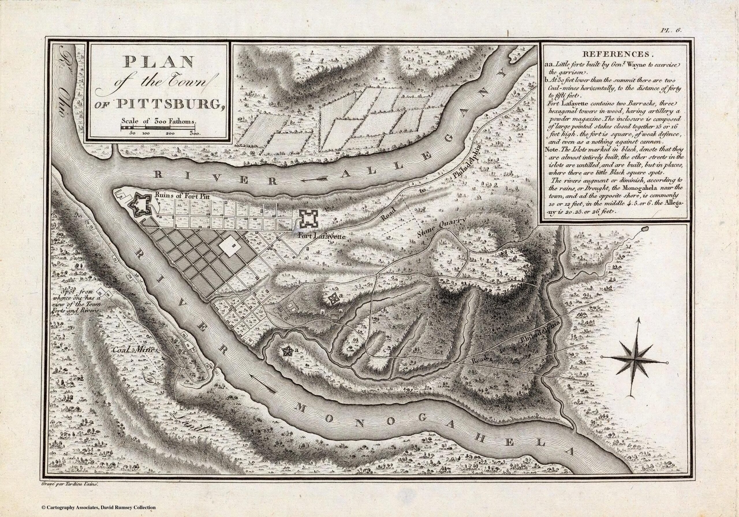
“Plan of the Town of Pittsburg” by George Henri Victor Collot and engraved by P.F. Tardieu. The map dates back to 1796 and is one of the earliest representations of Pittsburgh
The 1800’s
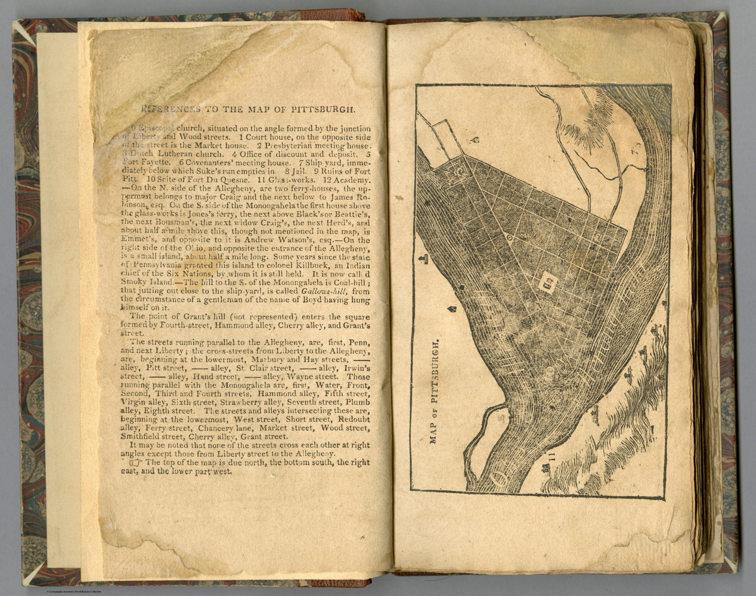
“Map of Pittsburgh,” created by Zadok Cramer in 1808
The 1810’s
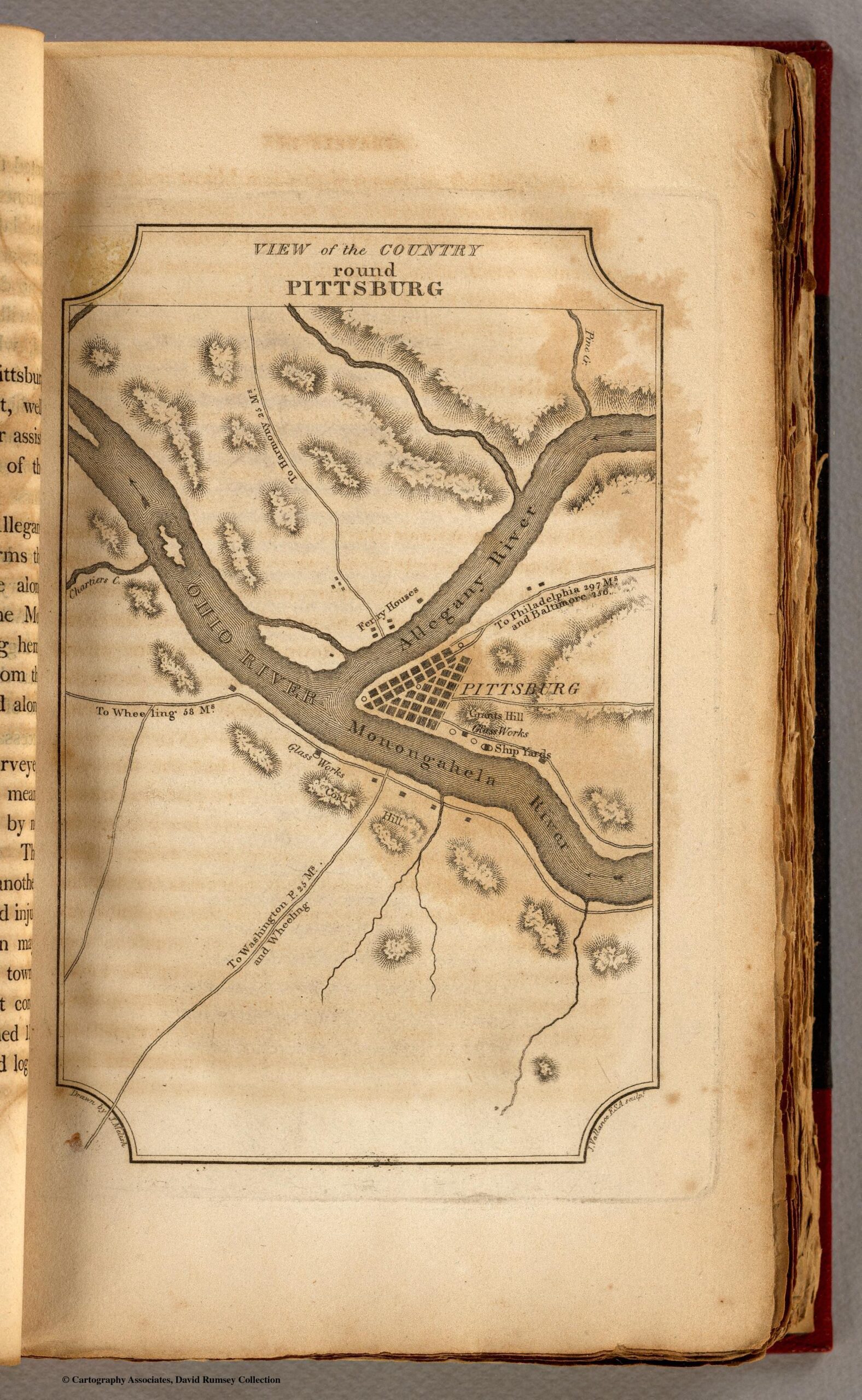
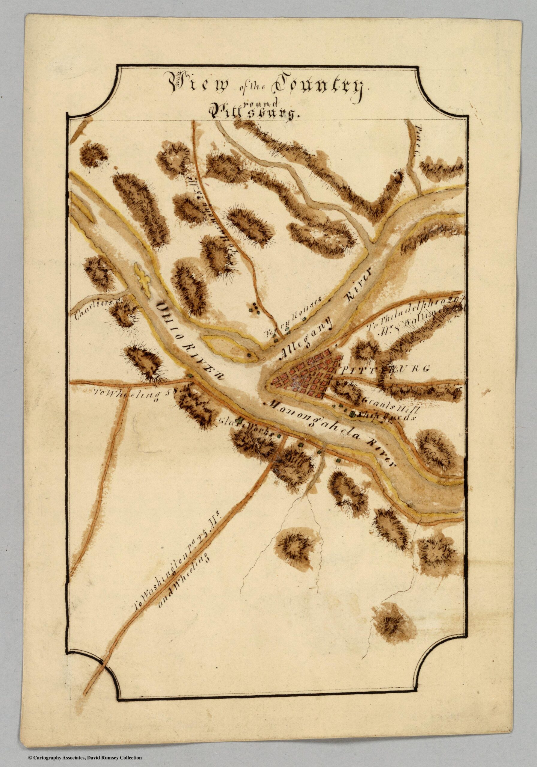
“View of the Country round Pittsburg,” created by John Melish and engraved by J. Vallance in 1812“View of the Country Round Pittsburg,” created by William Bringhurst in 1816
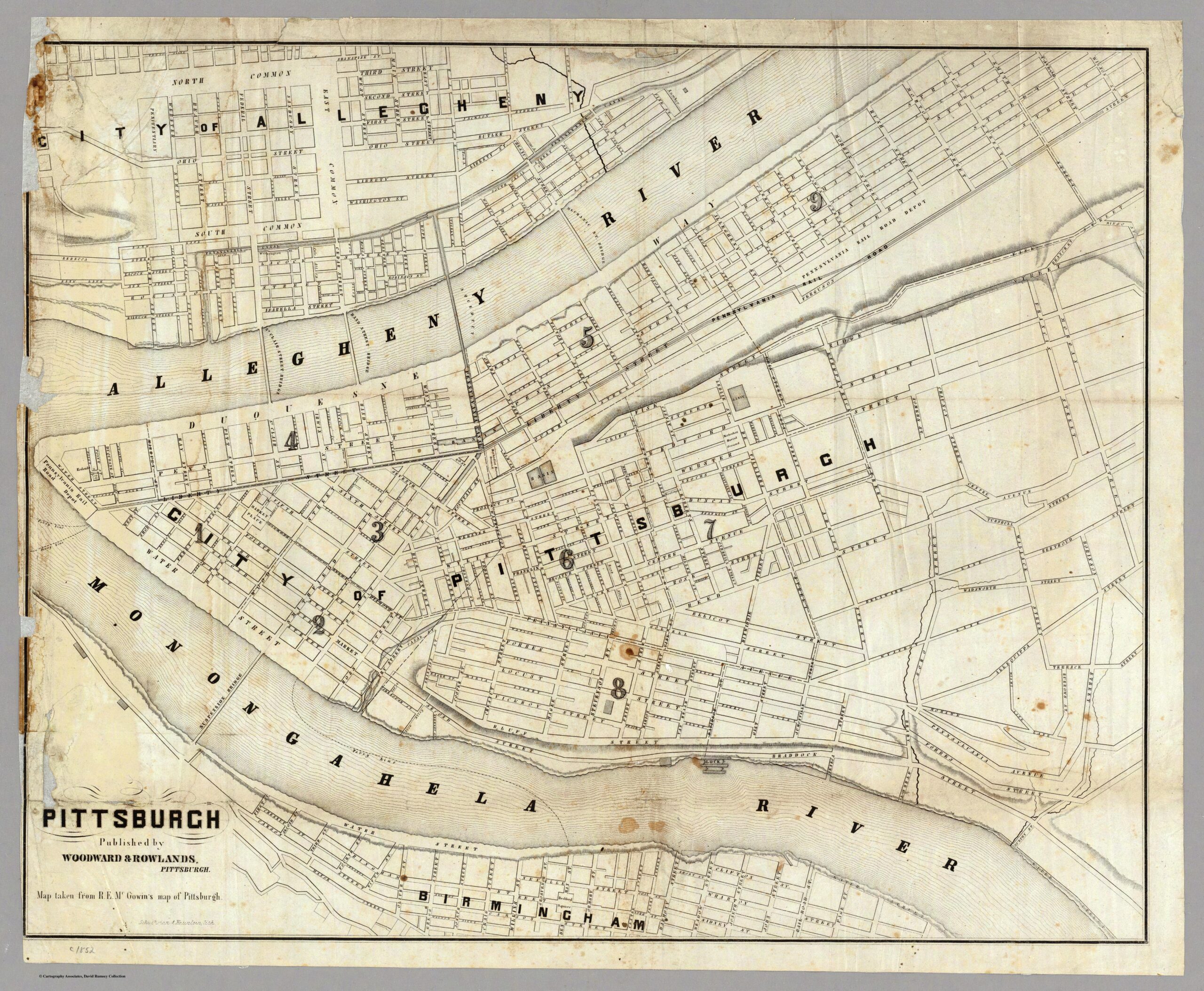
The 1850’s
created in 1852 by Woodward & Rowlands, is an intricate representation of the city during the mid-19th century
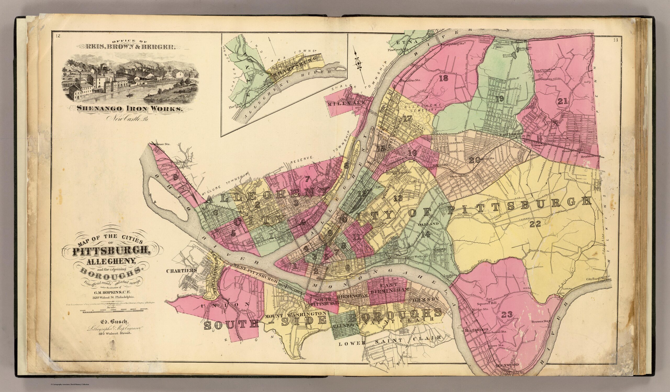
The 1870’s
“Map of the Cities of Pittsburgh, Allegheny and the Adjoining Boroughs,” created by G.M. Hopkins & Co. in 1872
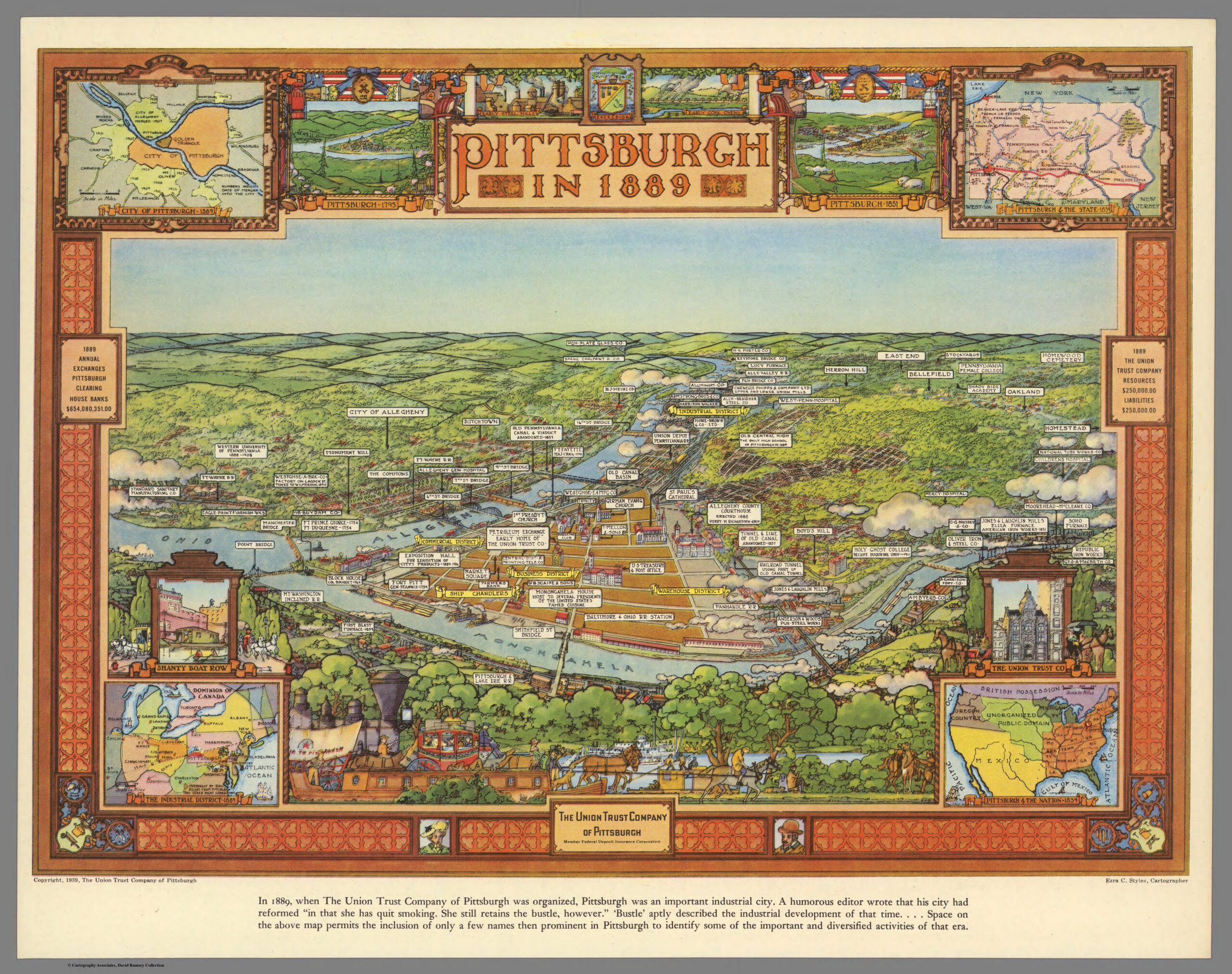
The 1880’s
“Pittsburgh in 1889” is a pictorial map created by Ezra C. Stiles, published in 1939 by The Union Trust Company of Pittsburgh. It provides a detailed and colorful representation of Pittsburgh as it was in 1889, reflecting its industrial significance at the time.
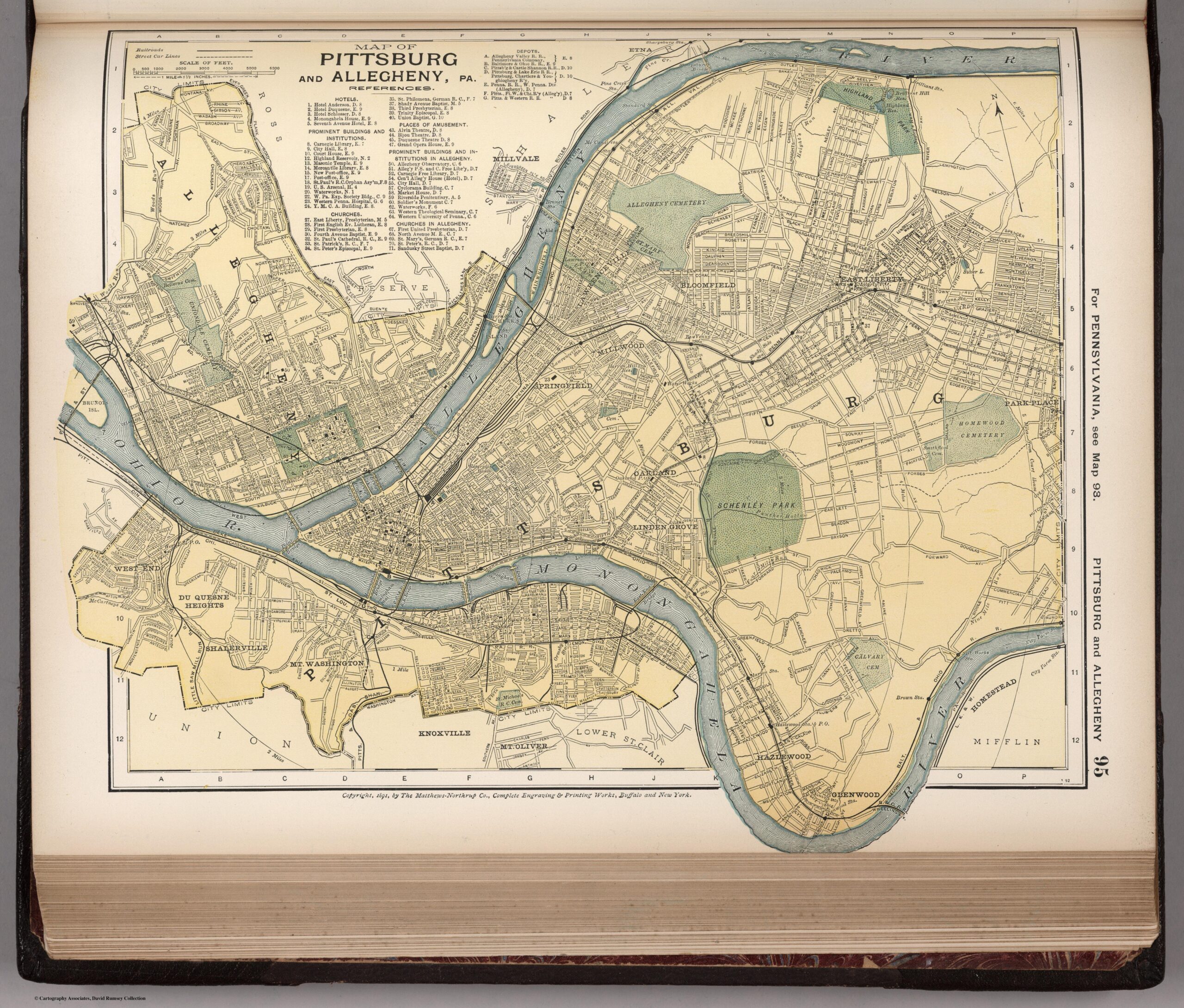
The 1890’s
“Map of Pittsburg and Allegheny, PA,” created in 1891 by Matthews-Northrup Co. It was published by D. Appleton & Co. as part of “The Library Atlas of Modern Geography” in 1892.
The 1900’s
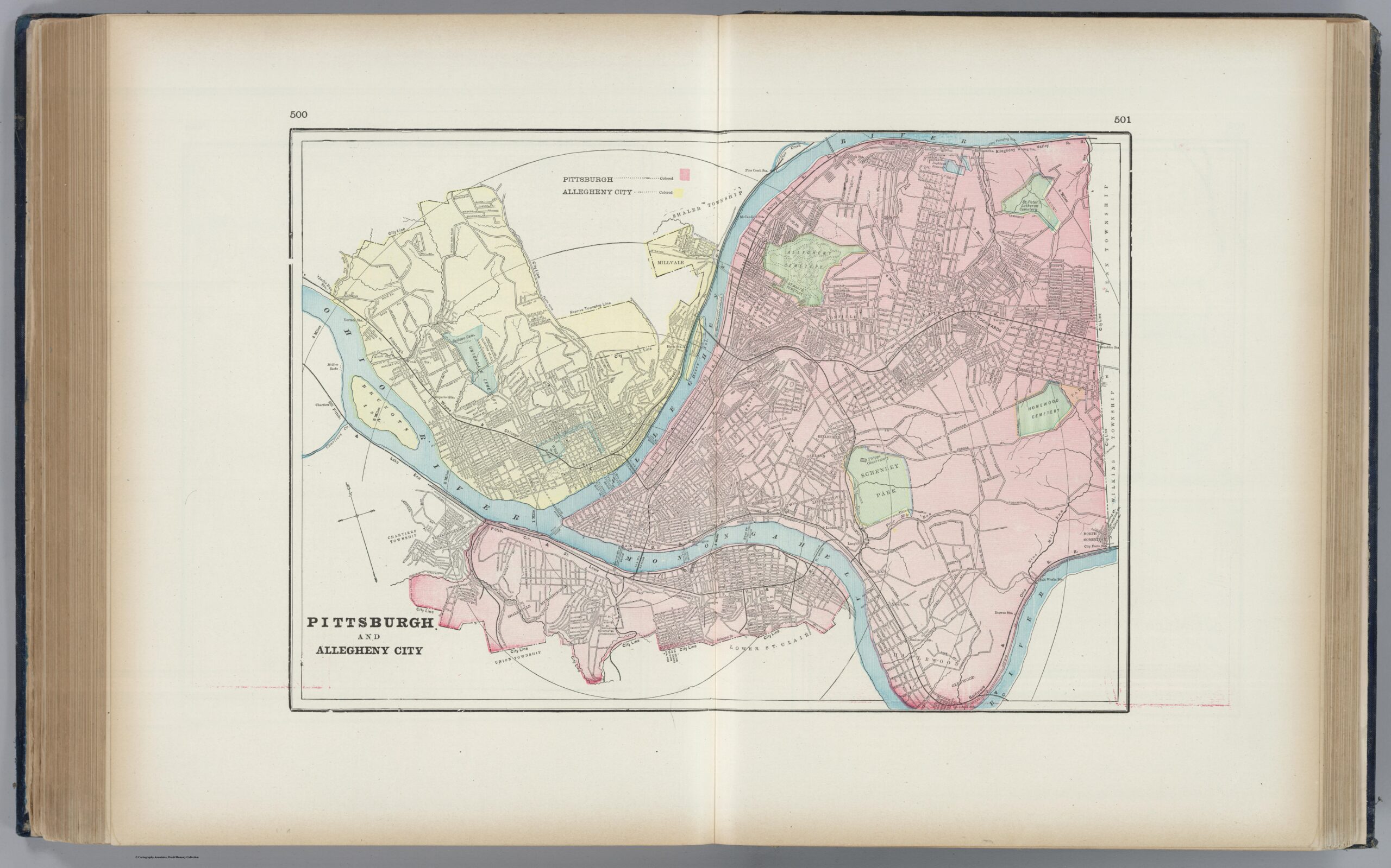
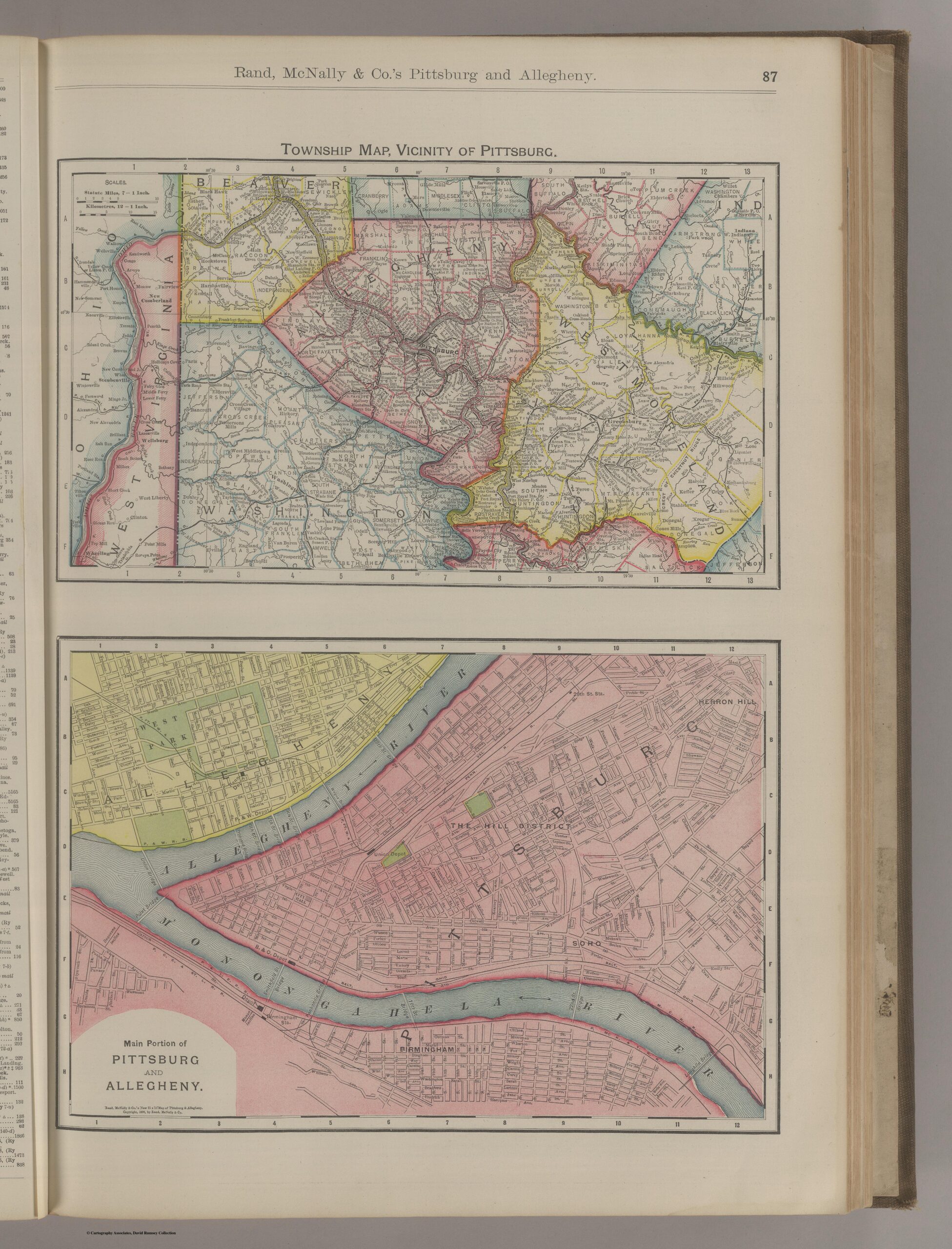
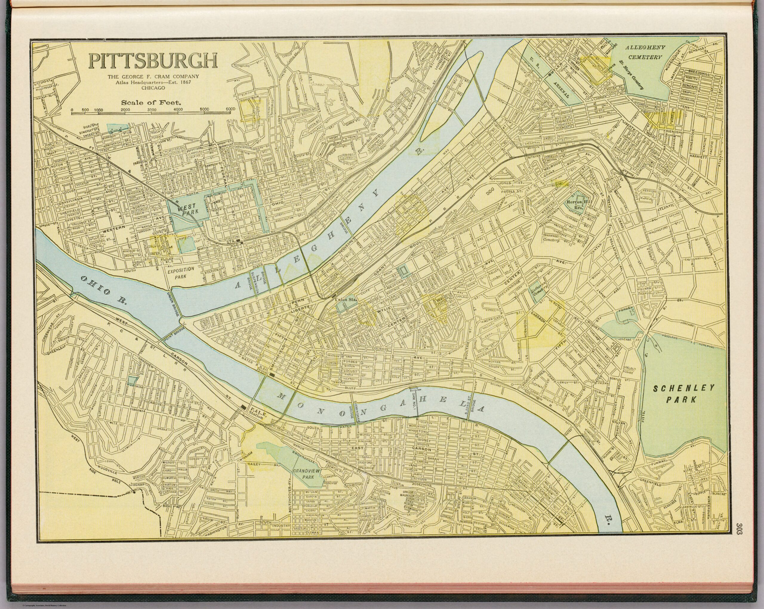
“Pittsburgh and Allegheny City,” created by George F. Cram in 1901created by Rand McNally and Company in 1903
The 1910’s
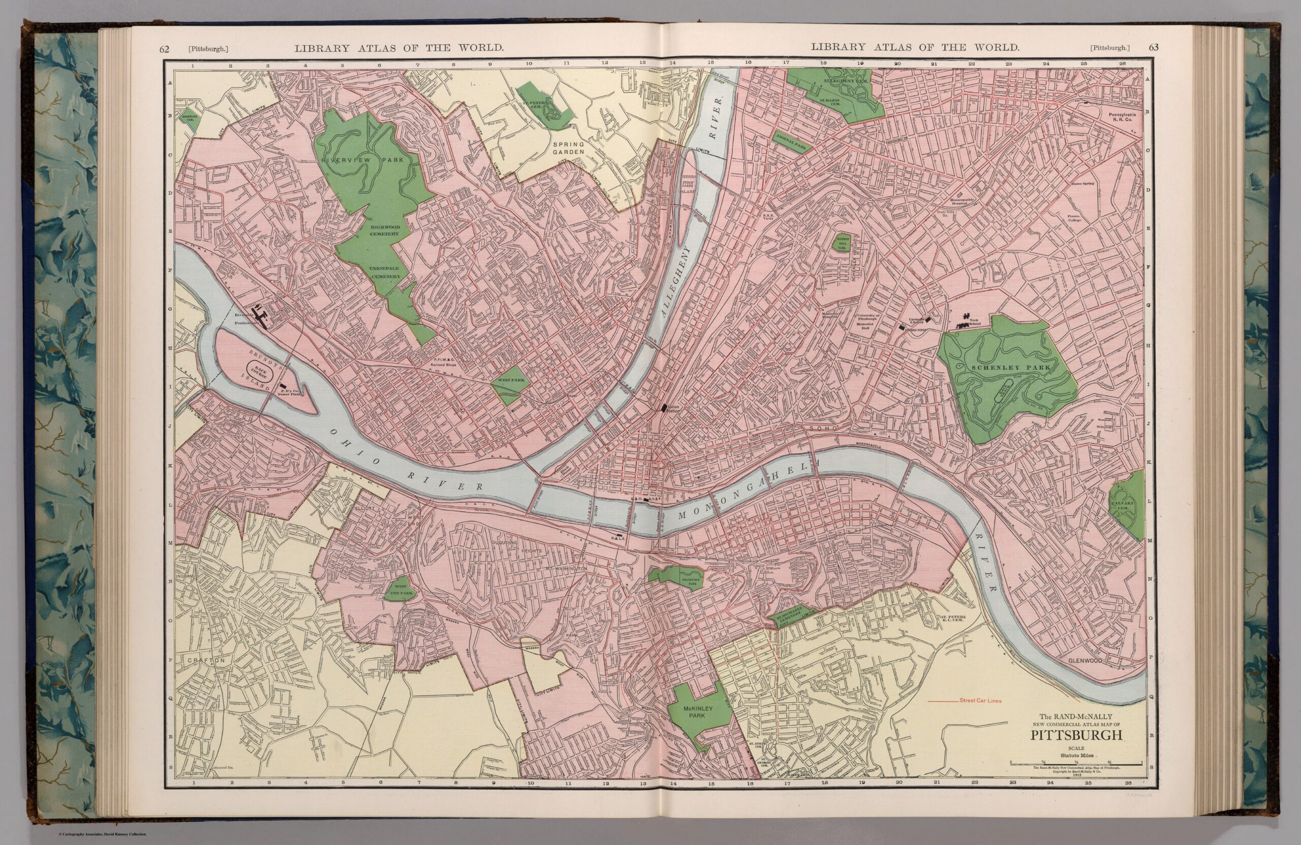
“Pittsburgh,” created by Rand McNally and Company in 1912.
The 1920’s
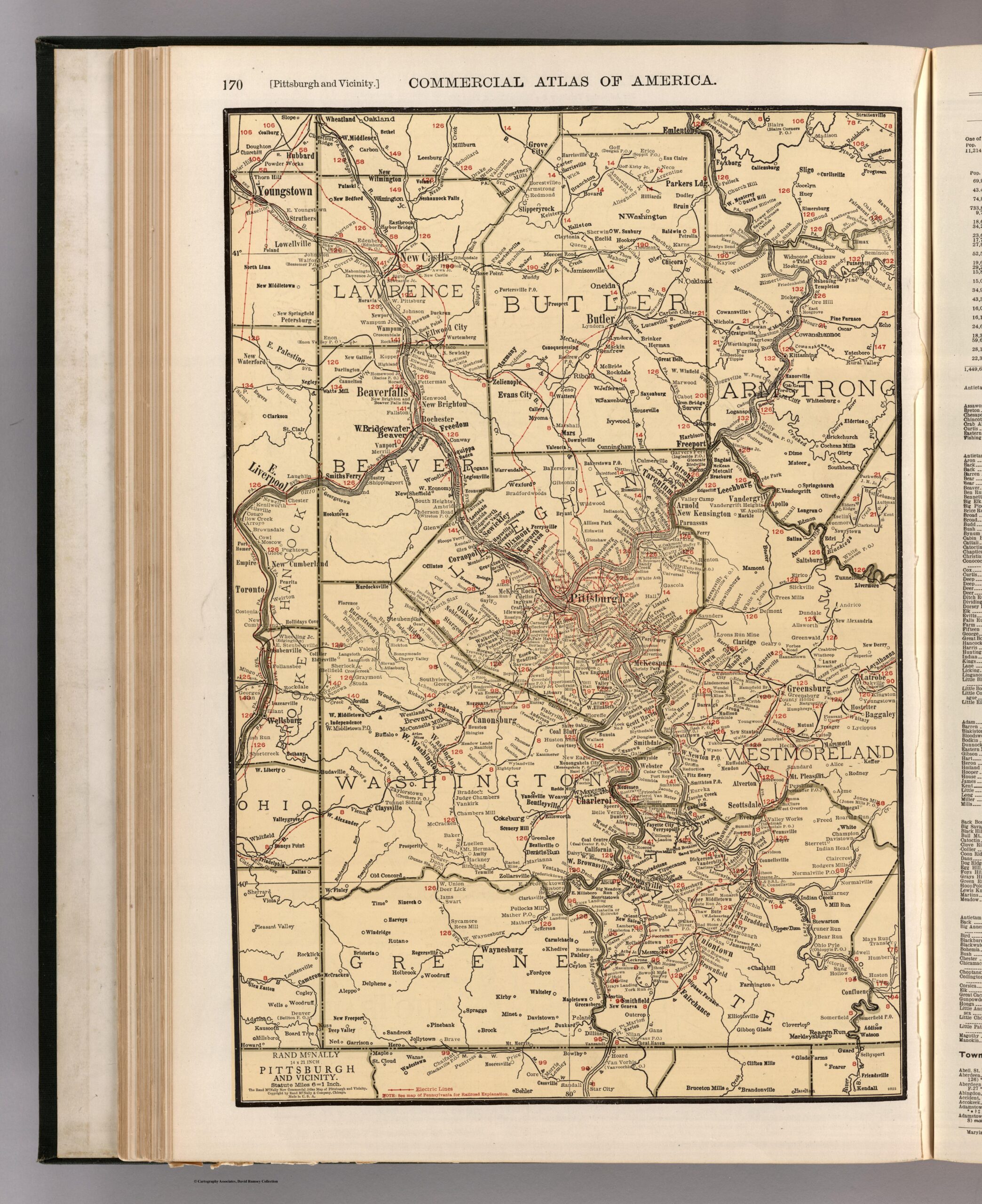
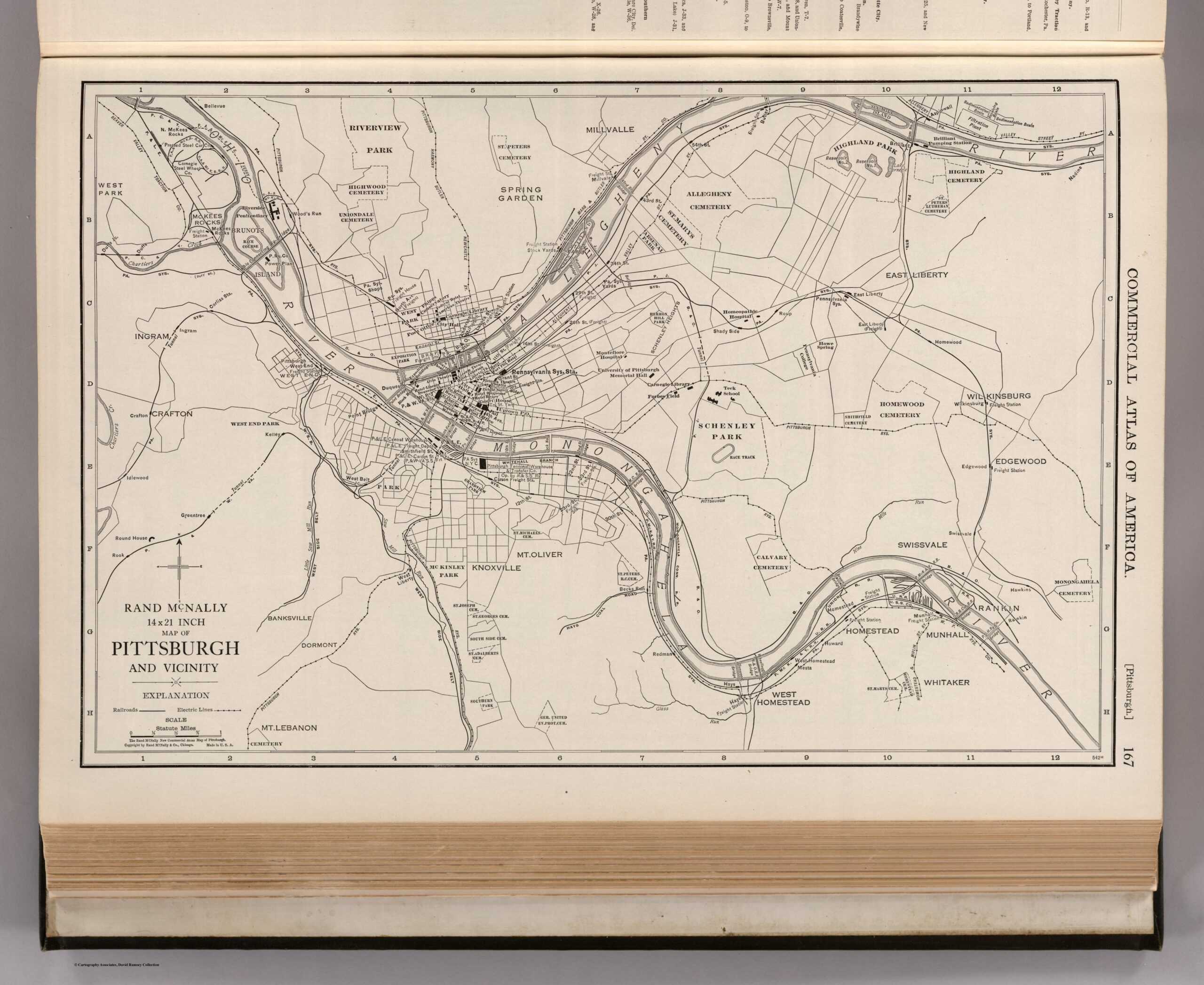
Pittsburgh, Pennsylvania, produced by the George F. Cram Company in 1925 “Commercial Atlas of America. Rand McNally 14 x 21 Inch Map of Pittsburgh and Vicinity” and was created by Rand McNally and Company in 1924“Rand McNally 14 x 21 Inch Map of Pittsburgh and Vicinity,” created by Rand McNally and Company in 1924
The 1930’s
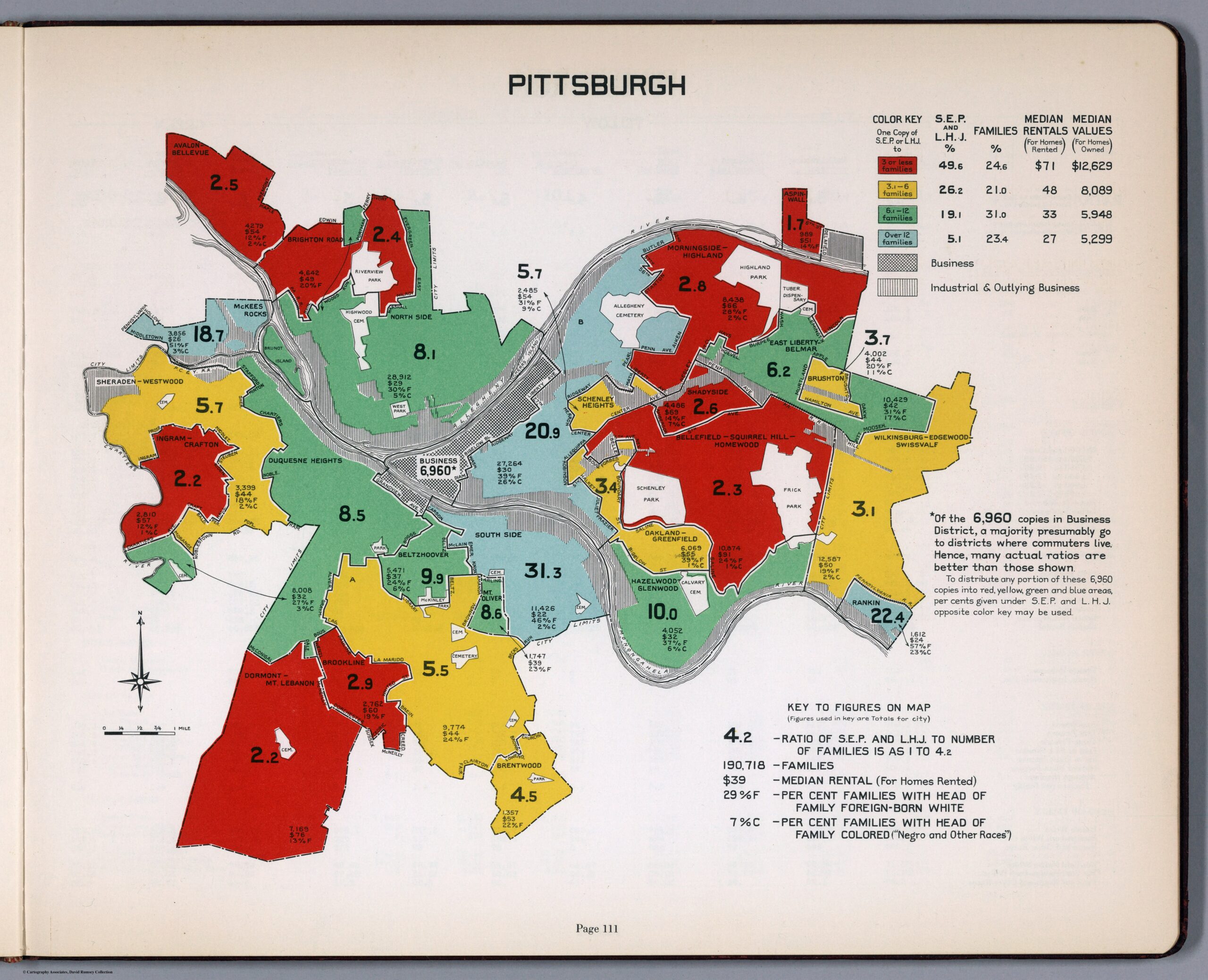
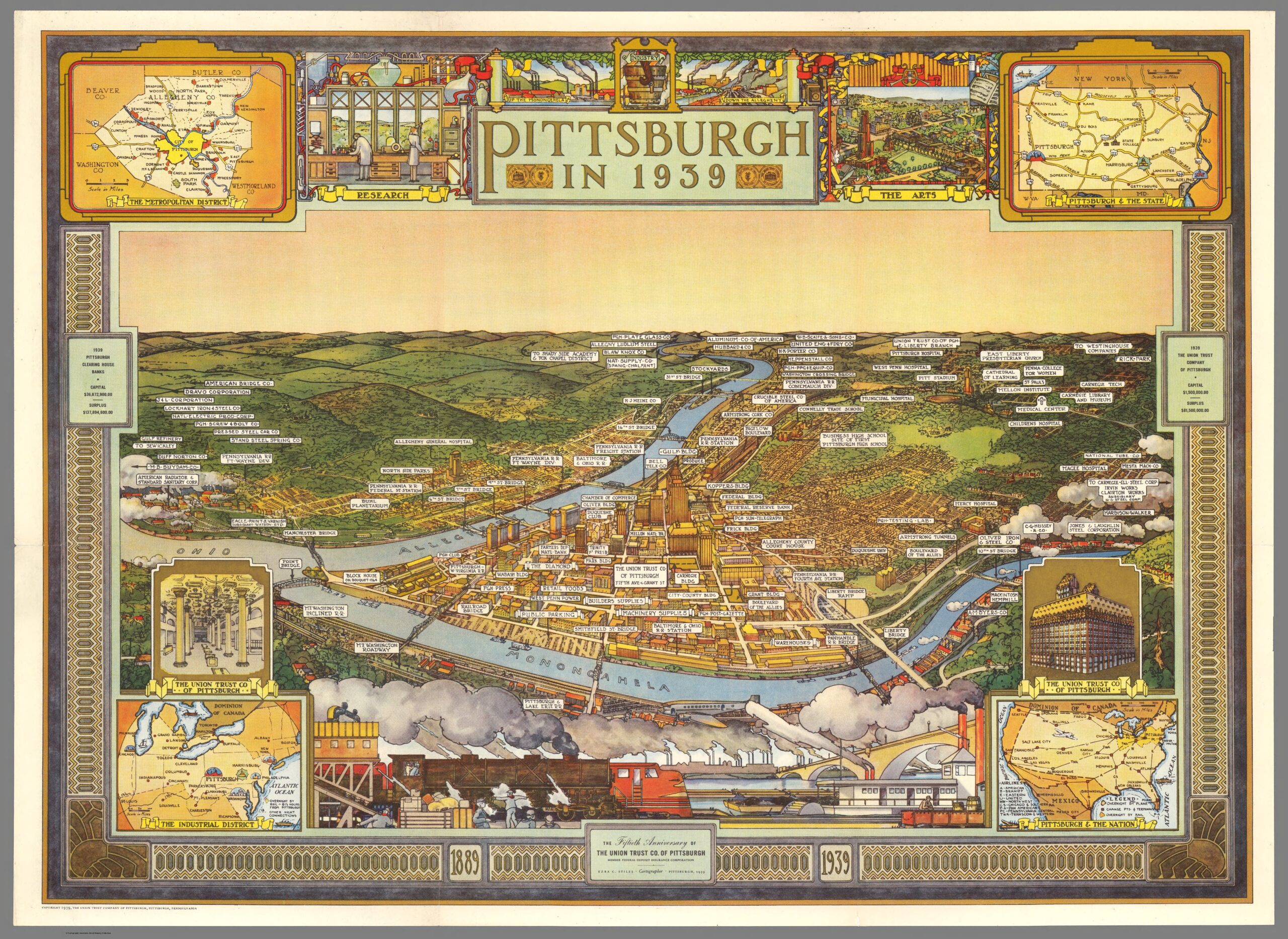
created by the Curtis Publishing Company in 1932“Pittsburgh in 1939,” created by Ezra C. Stiles and published by The Union Trust Company of Pittsburgh.
The 1960’s
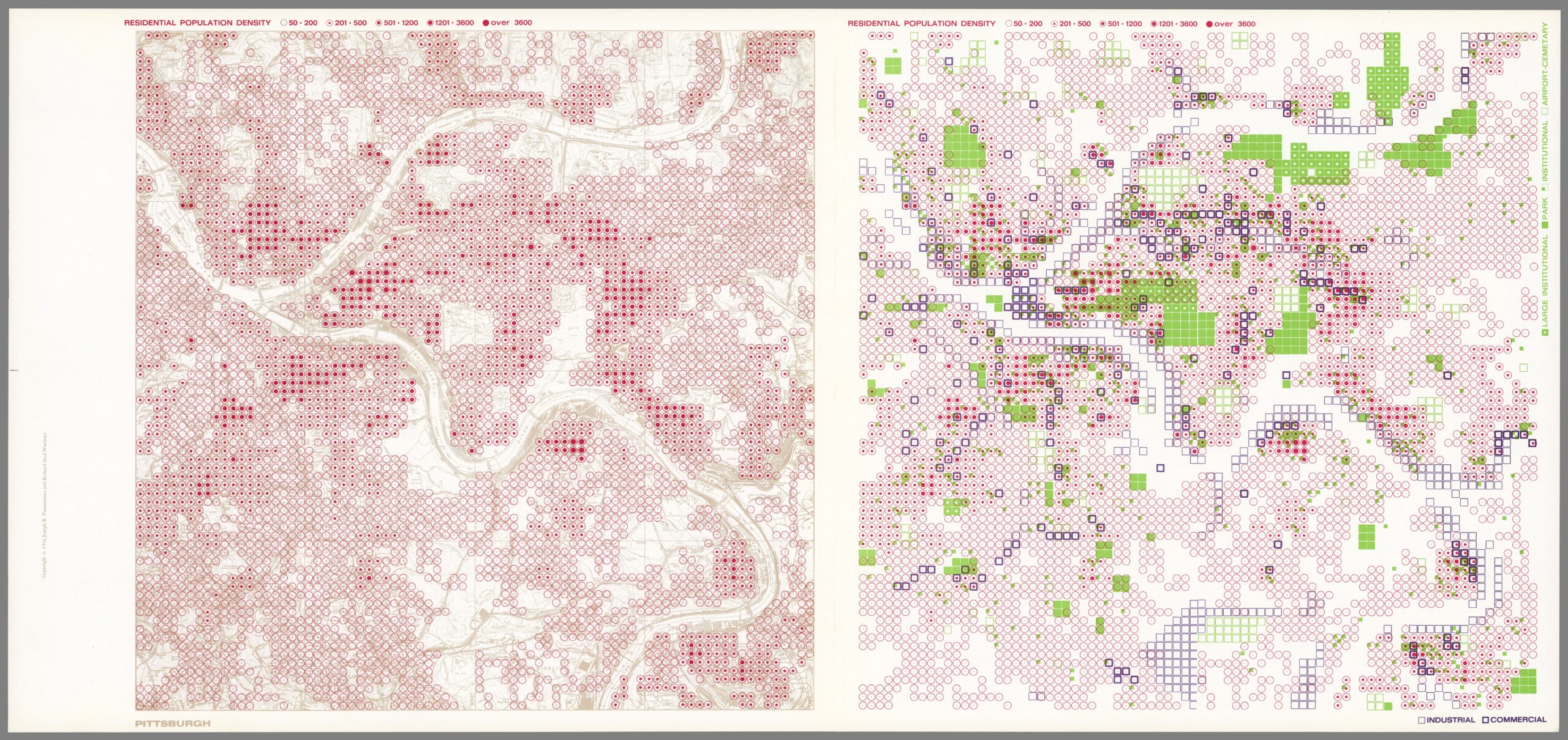
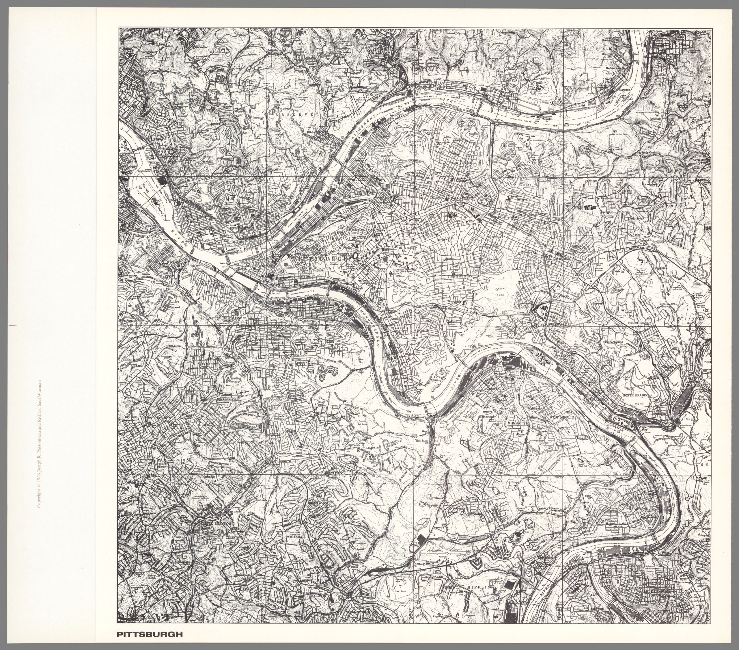
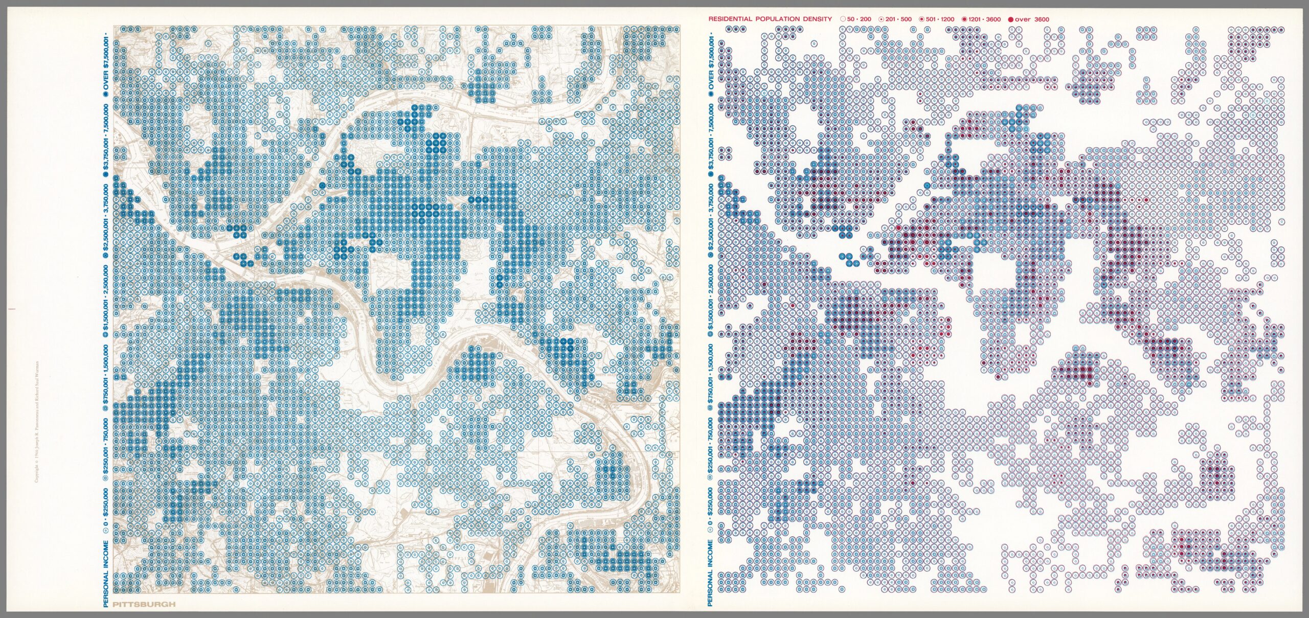
“Pittsburgh. Residential Population Density; Industrial, Commercial; Large Institutional, Park, Institutional, Airport, Cemetery,” created by Joseph R. Passonneau and Richard Saul Wurman in 1966“Pittsburgh,” created by Joseph R. Passonneau and Richard Saul Wurman in 1966“Pittsburgh. Personal Income; Residential Population Density,” created by Joseph R. Passonneau and Richard Saul Wurman in 1966.
The 1970’s
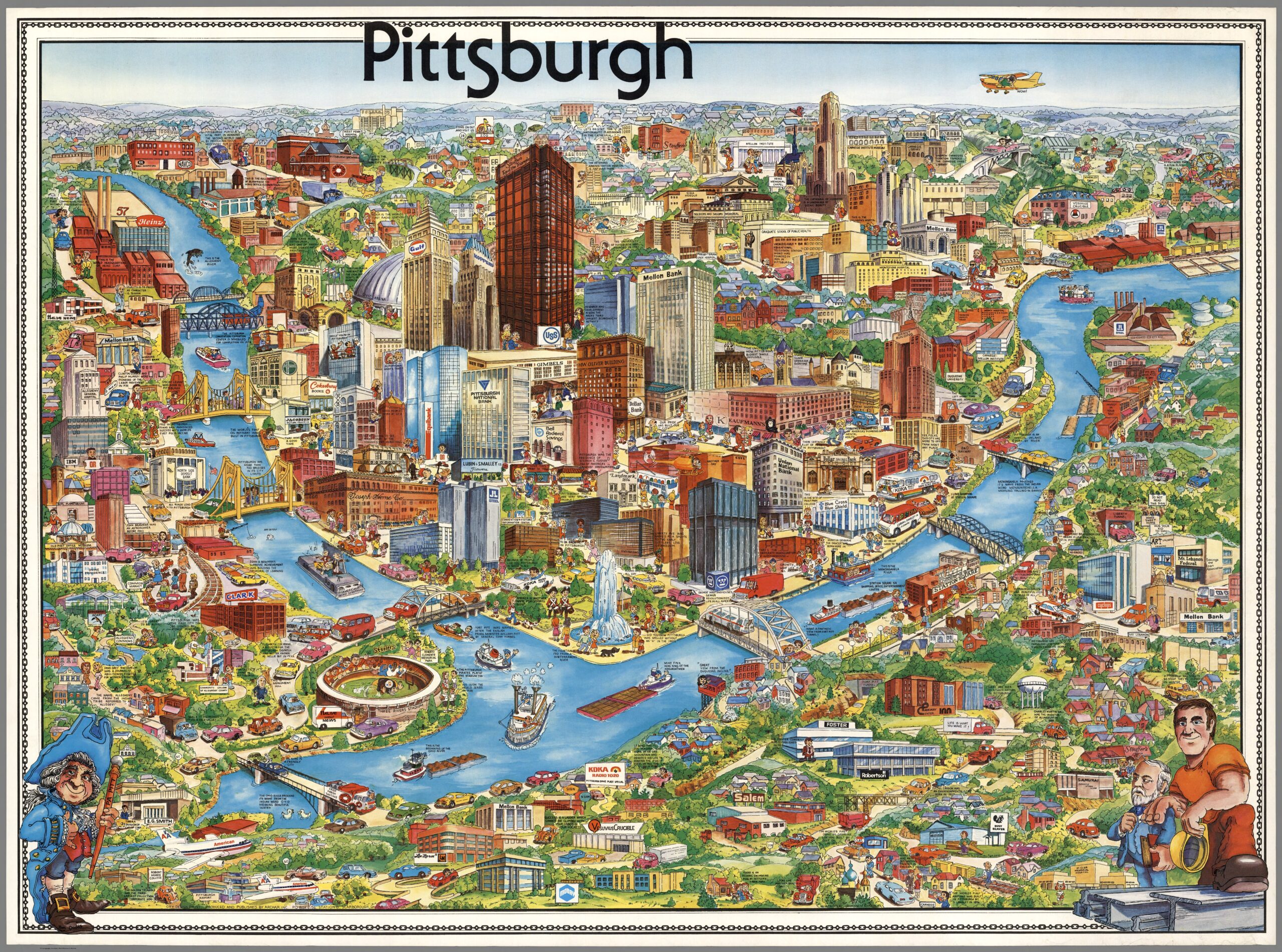
The work is a pictorial map titled “Pittsburgh,” created by Archar Inc. in 1978.
The 1990’s
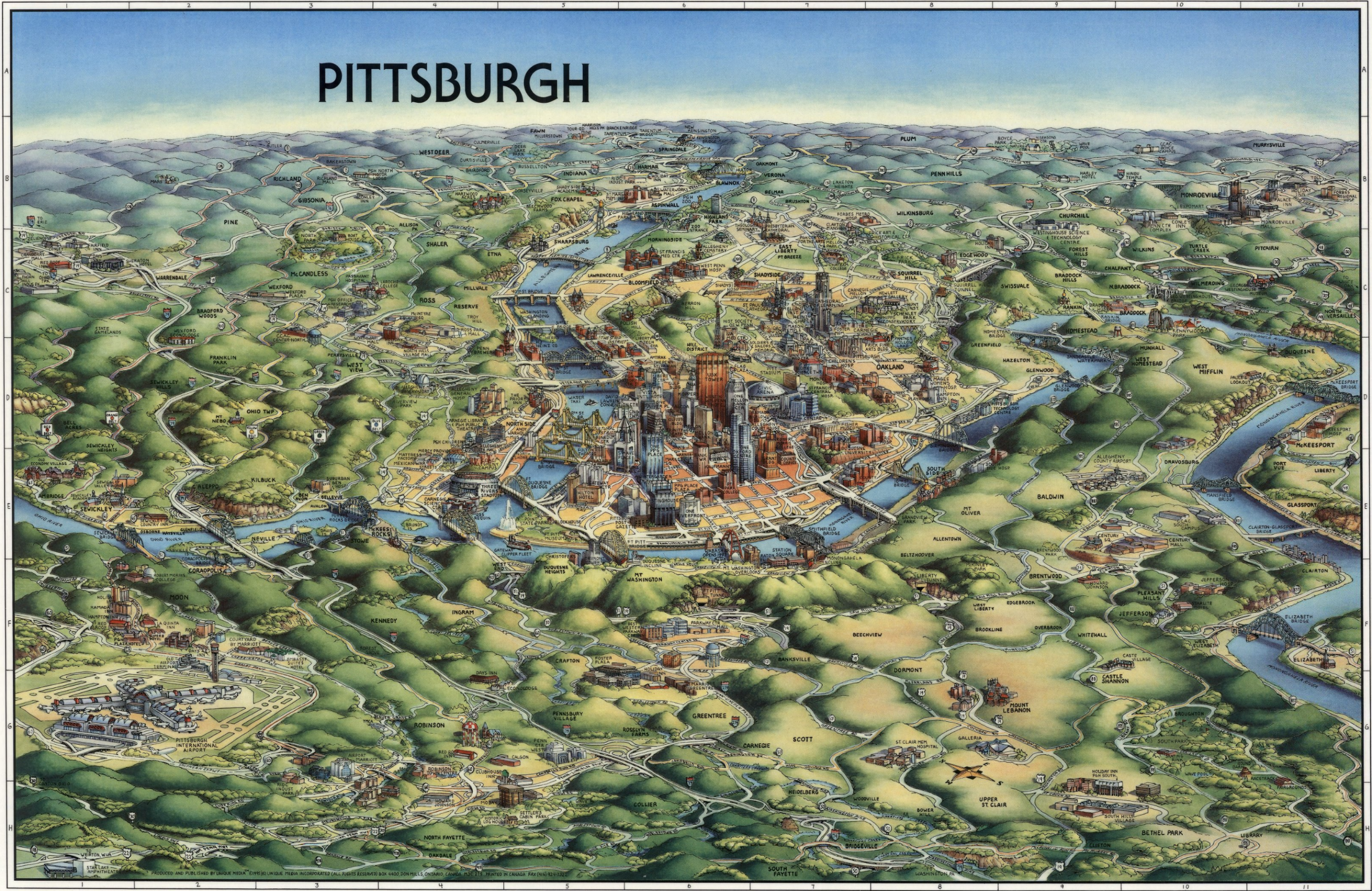
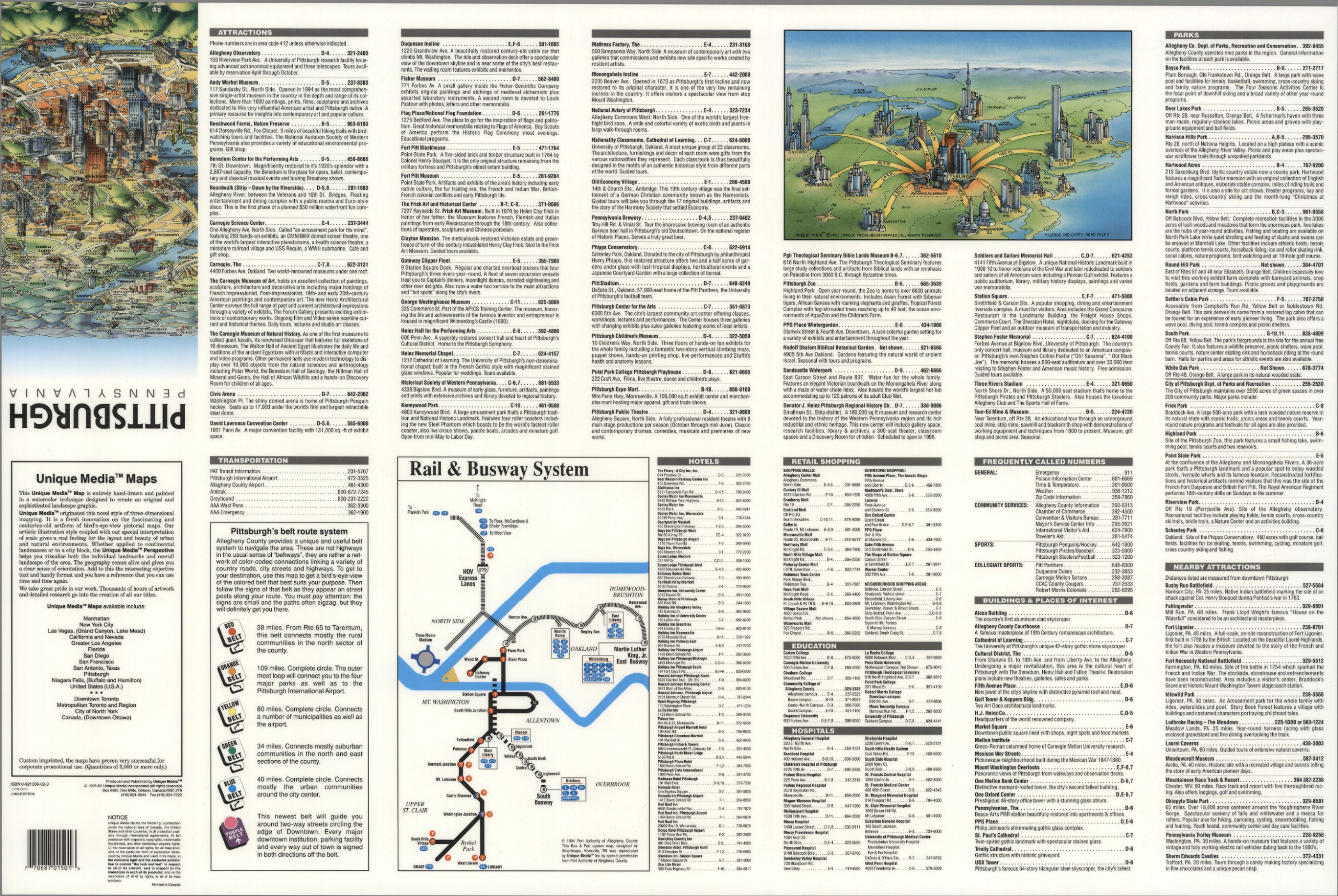
“Pittsburgh, Pennsylvania,” Unique Media Inc. – 1995.“Pittsburgh, Pennsylvania. Rail & Runway System.” Unique Media Inc. – 1995